Glad to present a new small but not so small update on the “All the Sailing on a Single Map” poster infographic. Every small update need recomposite lots of elements of the illustration, and it takes time.
Weather section redesigned: wind strength now also shows visually its scale with the windsock rings. Each ring indicates the wind velocity of 5 knots: So in this way 5 fully blown rings correspond approximately to a wind speed of 25 knots. Height of waves, maneuvers, navigation speed in knoths are interconnected and more readable in a linear scheme from left to right.
Clouds have been restyled and redrawn, and are positioned in connection to wind and sea status; following weather tendency from the cumuls (left, good weather)to the nimbostratus (right, storm and extreme weather).
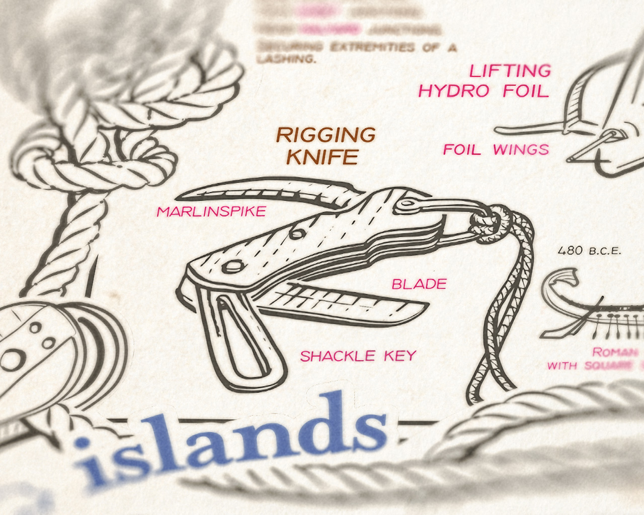
In the knots sections, added the rigging knife with its tools, indispensable for every sailor: untie knots with the marlinspike, the shakle key, screwdriver or an emergency cut to the ropes: a tool to keep always on the belt.
Lighthouse has been redrawn too, with line art details and some historical references.


